This instruction manual will guide user in finding the development zone where the sign is display at.
The 3 development zone are:
1. In the Central Area
2. Outside the Central Area
3. Conservation Development
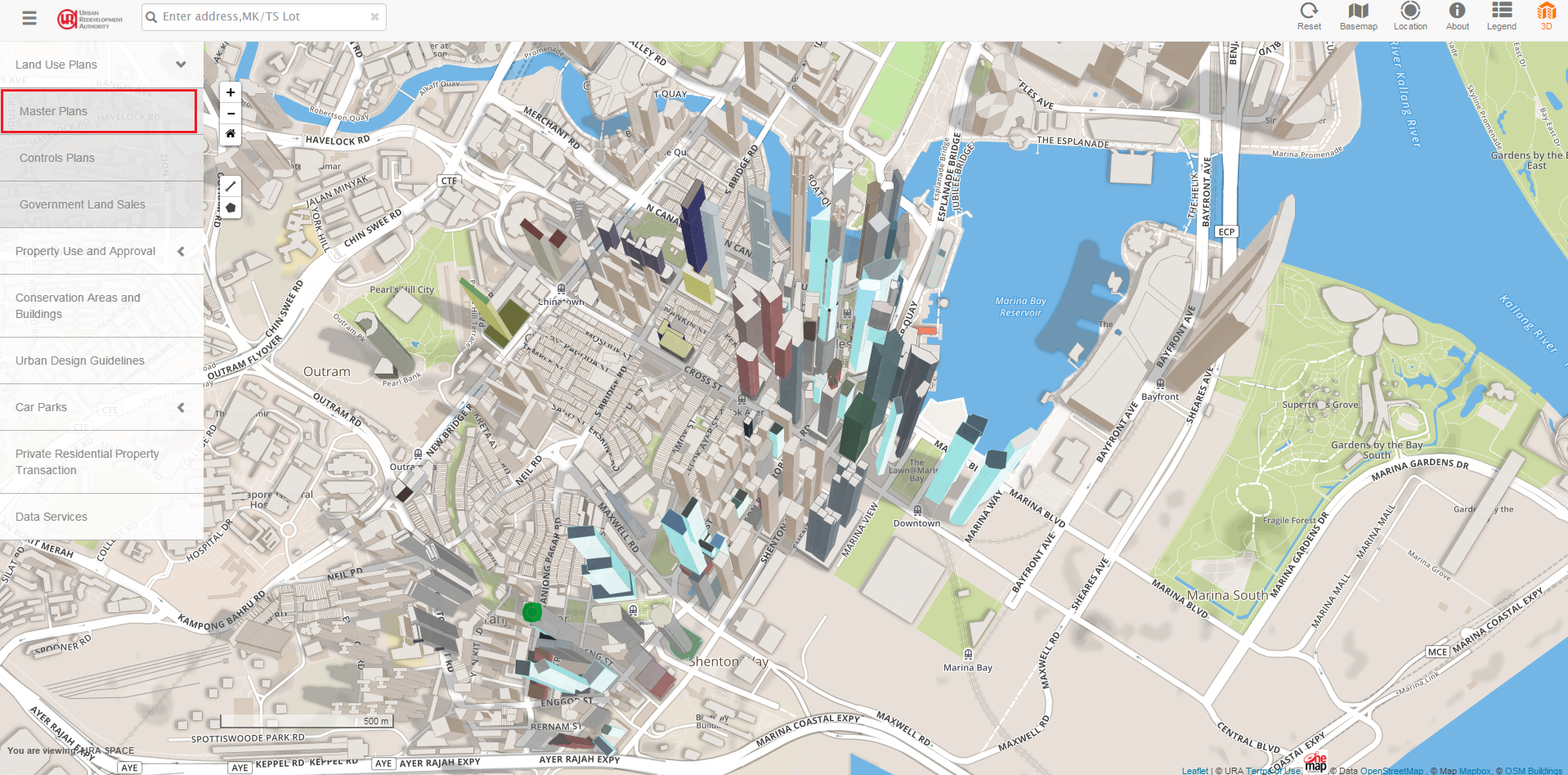
1. Please visit https://www.ura.gov.sg/maps. Click on "Land Use Plans", followed by "Master Plans".

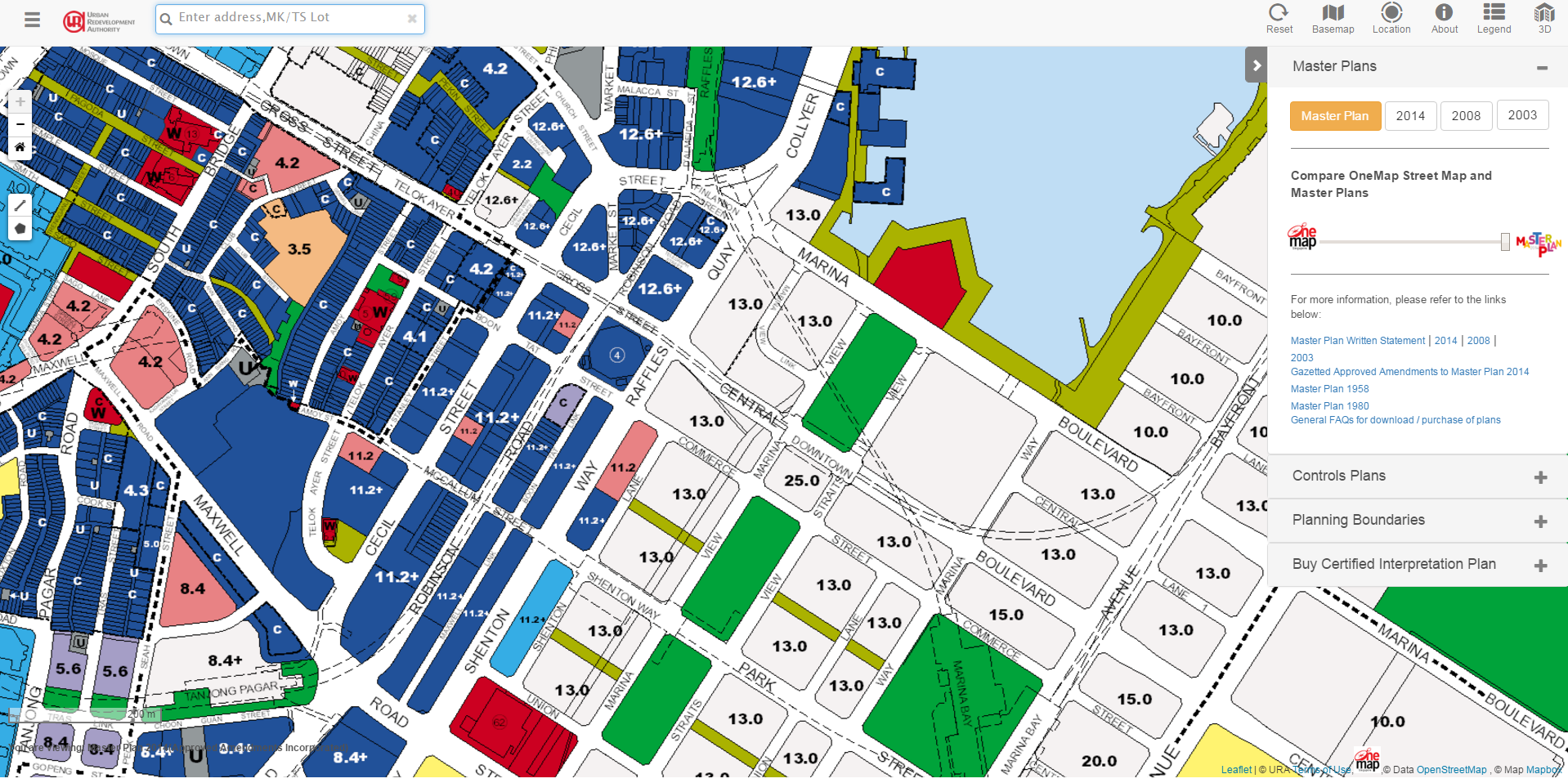
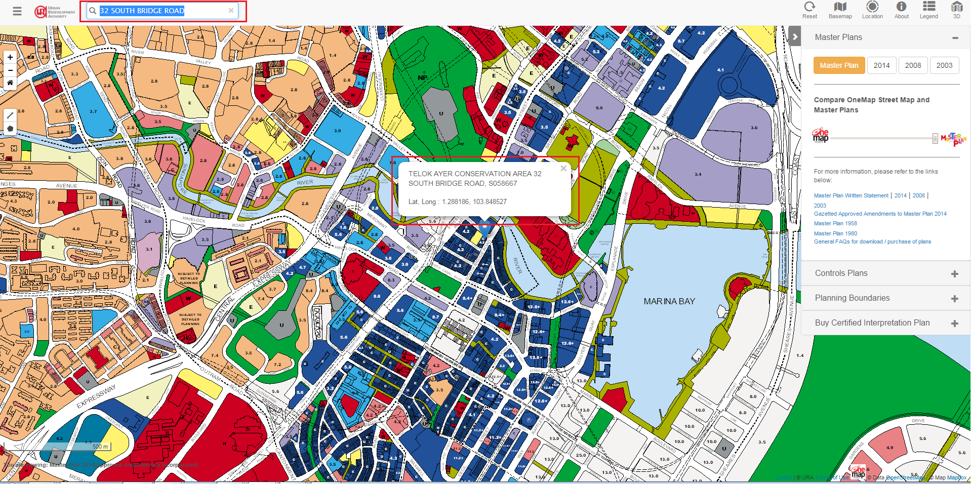
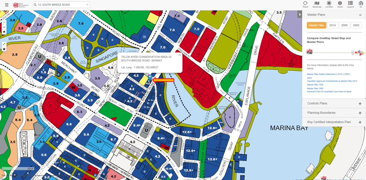
2. Enter the sign location in the address field (eg. 32 South Bridge Road), and the locator pin will appear on the indicated address.
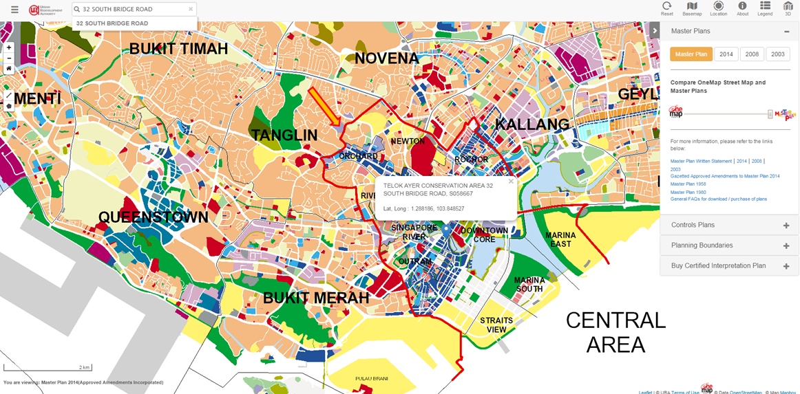
3. Zoom into find out if the sign is located in the Central Area or Outside the Central Area. Central Area is demarcated by the red line.
4. To check if the development use where the sign is display on is Conservation Development, click on the "Legend" button on the right side of the webpage.
Note: Conservation development is represented by an alphabet "C" in the legend.
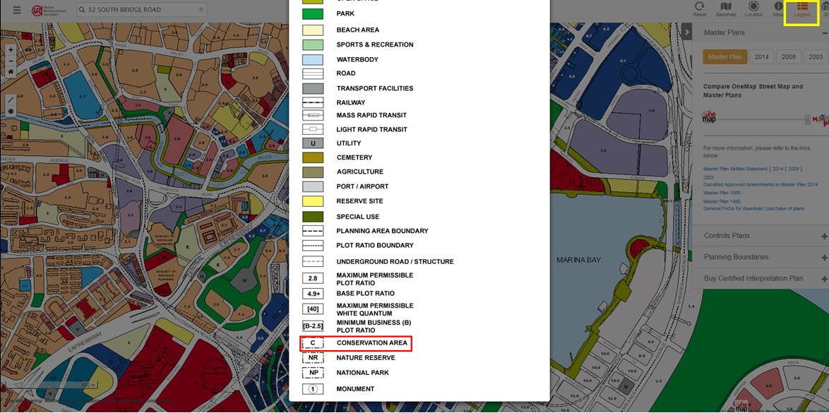
Example 1 - 32 South Bridge Road
32 South Bridge Road is a Conservation Development. Hence, "Conservation Development" should be selected under the development zone.
Note: If the development where the sign display on is not on Conservation Development, select "In the Central Area" or "Outside the Central Area" under the development zone.
Example 2 - 30 Keppel Road
30 Keppel Road is not a Conservation Development, located outside the Central Area. Hence, "Outside the Central Area" should be selected under the development zone.
